Aerovehicles as an operator provides a wide range of surveying, reconnaissance, monitoring, and remote sensing services, using the latest technology and state-of-the-art equipment. Our team of experienced professionals is dedicated to delivering accurate, reliable, and cost-effective solutions for a wide range of applications, including mapping, environmental monitoring, agriculture, forestry, and more.


LiDAR – Light Detection and Ranging
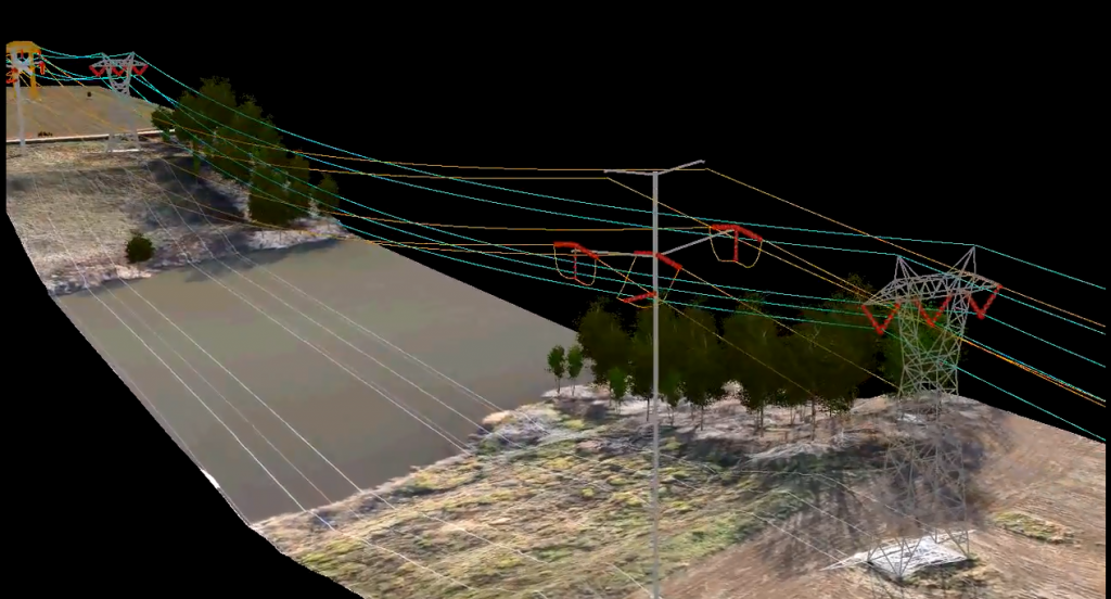
Mapping and surveying: LiDAR can be used to create detailed and accurate maps of large areas, including terrain, vegetation, and man-made structures.
Environmental monitoring: LiDAR can be used to monitor and measure changes in vegetation, including the growth and health of forests, and to track the movement of water bodies and other natural features.
Agriculture: LiDAR can be used to measure the height and health of crops, as well as to identify areas of the field that may require special attention or treatment.
Forestry: LiDAR can be used to measure the density, height, and biomass of trees, providing valuable information for forest management and conservation.
Archaeology: LiDAR can be used to create detailed and accurate maps of archaeological sites, allowing researchers to identify and study features that may be hidden beneath the ground.
Transportation: LiDAR can be used to create detailed maps of roads and highways, providing valuable information for planning, construction, and maintenance.
Engineering and construction: LiDAR can be used to create detailed 3D models of buildings and other structures, providing valuable information for design and planning.
Geology: LiDAR can be used to create detailed maps of the earth’s surface, providing valuable information for geologists and other earth scientists.
Military and defense: LiDAR can be used for surveillance and reconnaissance, providing detailed information about enemy positions and movements.
Disaster management: LiDAR can be used to quickly and accurately assess the extent and impact of natural disasters, such as earthquakes and hurricanes, providing valuable information for rescue and recovery efforts.
SAR – Synthetic-Aperture Radar
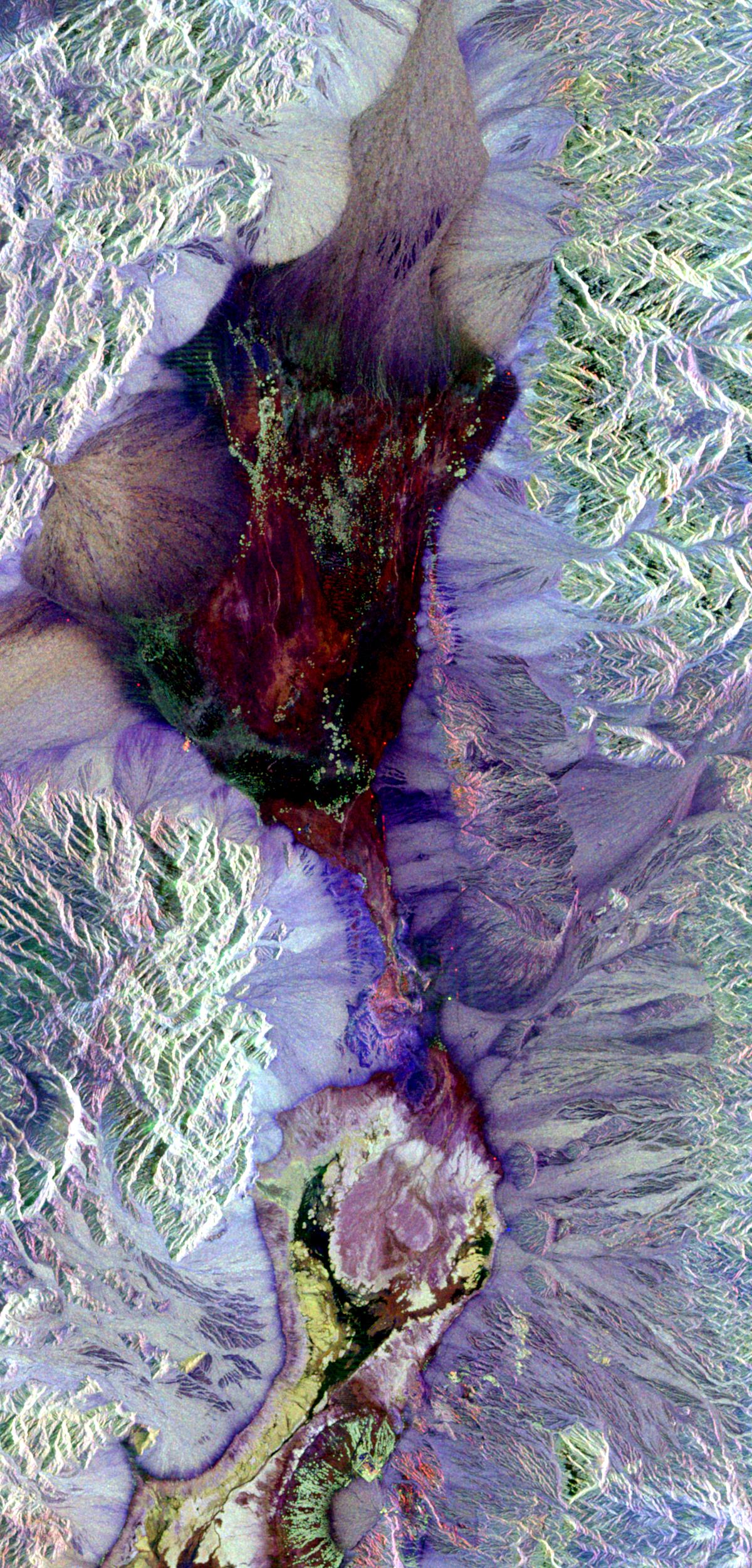
- Mapping and surveying: SAR can be used to create detailed and accurate maps of large areas, including terrain, vegetation, and man-made structures. Unlike LiDAR, which relies on visible light, SAR uses radio waves, allowing it to penetrate clouds and other obstructions, providing valuable data even in adverse weather conditions.
- Environmental monitoring: SAR can be used to monitor and measure changes in vegetation, including the growth and health of forests, and to track the movement of water bodies and other natural features.
- Agriculture: SAR can be used to measure the height and health of crops, as well as to identify areas of the field that may require special attention or treatment.
- Forestry: SAR can be used to measure the density, height, and biomass of trees, providing valuable information for forest management and conservation.
- Archaeology: SAR can be used to create detailed and accurate maps of archaeological sites, allowing researchers to identify and study features that may be hidden beneath the ground.
- Transportation: SAR can be used to create detailed maps of roads and highways, providing valuable information for planning, construction, and maintenance.
- Engineering and construction: SAR can be used to create detailed 3D models of buildings and other structures, providing valuable information for design and planning.
- Geology: SAR can be used to create detailed maps of the earth’s surface, providing valuable information for geologists and other earth scientists.
- Military and defense: SAR can be used for surveillance and reconnaissance, providing detailed information about enemy positions and movements.

