Aerovehicles Paraguay, in partnership with WGI, recently carried out a training course in LiDAR data processing aimed at collaborators from the Social Innovation Technologies Area and the Image Processing Laboratory of the Itaipu Technology Park (PTI). The PTI is the Paraguayan entity of scientific and technological knowledge of Itaipu, a bilateral entity between Paraguay and Brazil. The course covered key aspects of airborne LiDAR technology and its uses to create high-resolution 3D maps of the Earth’s surface with data collected from a manned and unmanned aerial vehicle.
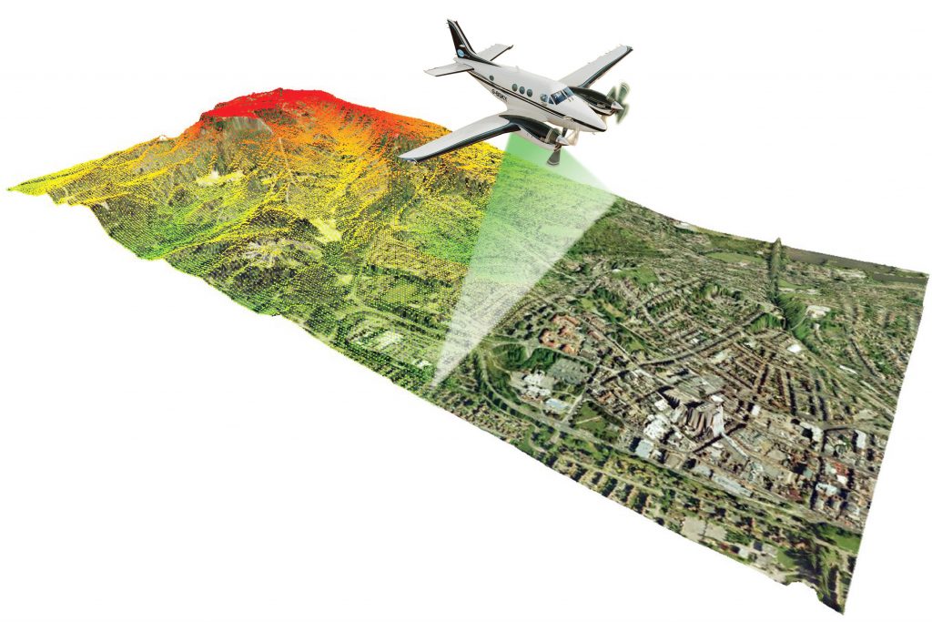
LiDAR technology is a distance measurement system that uses lasers to measure the distance between the LiDAR sensor and the Earth’s surface. This technology makes it possible to create high-resolution 3D maps of the earth’s surface. The data collected by the LiDAR sensor is processed to generate 3D point clouds, digital terrain models, contour lines, and other valuable information for a variety of applications, including power line transmission, transportation infrastructure planning, and design, management environmental, archaeology, civil engineering, the rural sector, among others.
The participants in the course were introduced to theoretical knowledge of techniques to operate airborne LiDAR equipment and carried out practical exercises on how to process the data collected by the sensors. This included LiDAR survey standards, flight planning, surveying, sensor operations, and data classification, as well as methods for creating digital elevation models and 3D point clouds.
The course also covered the various types of surveys, methods, and best practices for airborne surveys. Some of the applications of LiDAR technology are:
Create high-resolution 3D maps of the earth’s surface.
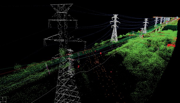
Surveys of power transition lines
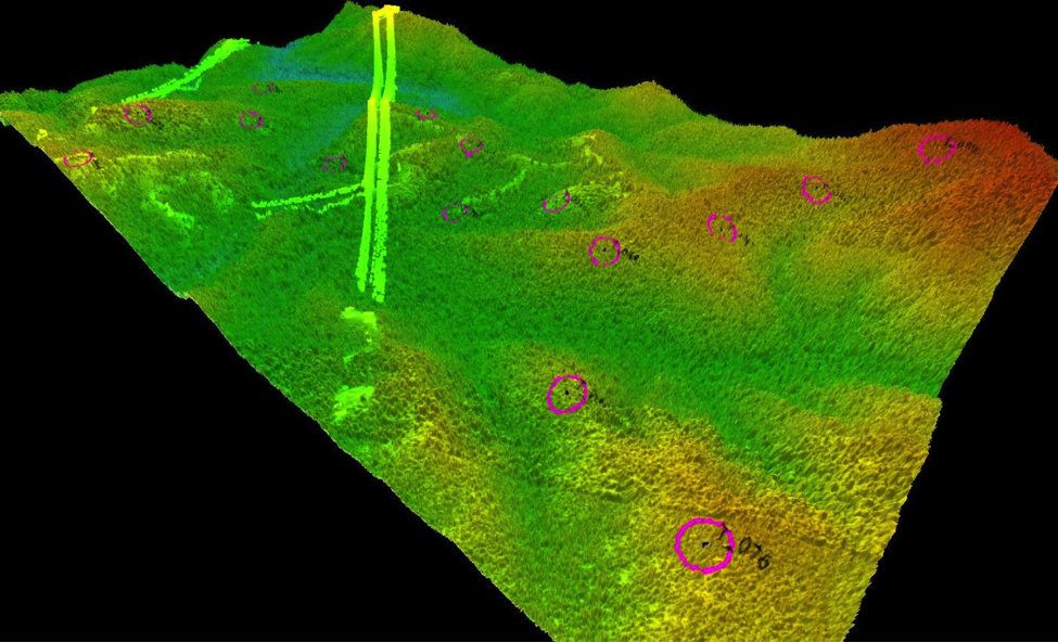
Generate digital elevation models.
Plan and design roads and other transport infrastructure.
Create 3D models of structures for engineering purposes.
Map vegetation and other land surface features for environmental management.
Locate and map ancient structures and artifacts for archaeology.
Cadastral surveys
In conclusion, the training course in airborne LiDAR data processing offered by Aerovehicles Paraguay and WGI provided an opportunity for collaborators from the Social Innovation Technologies Area and the PTI Image Processing Laboratory to acquire knowledge about this valuable technology and its potential applications in multiple fields, which ultimately will benefit various social sectors in Paraguay.